Secret Bormio
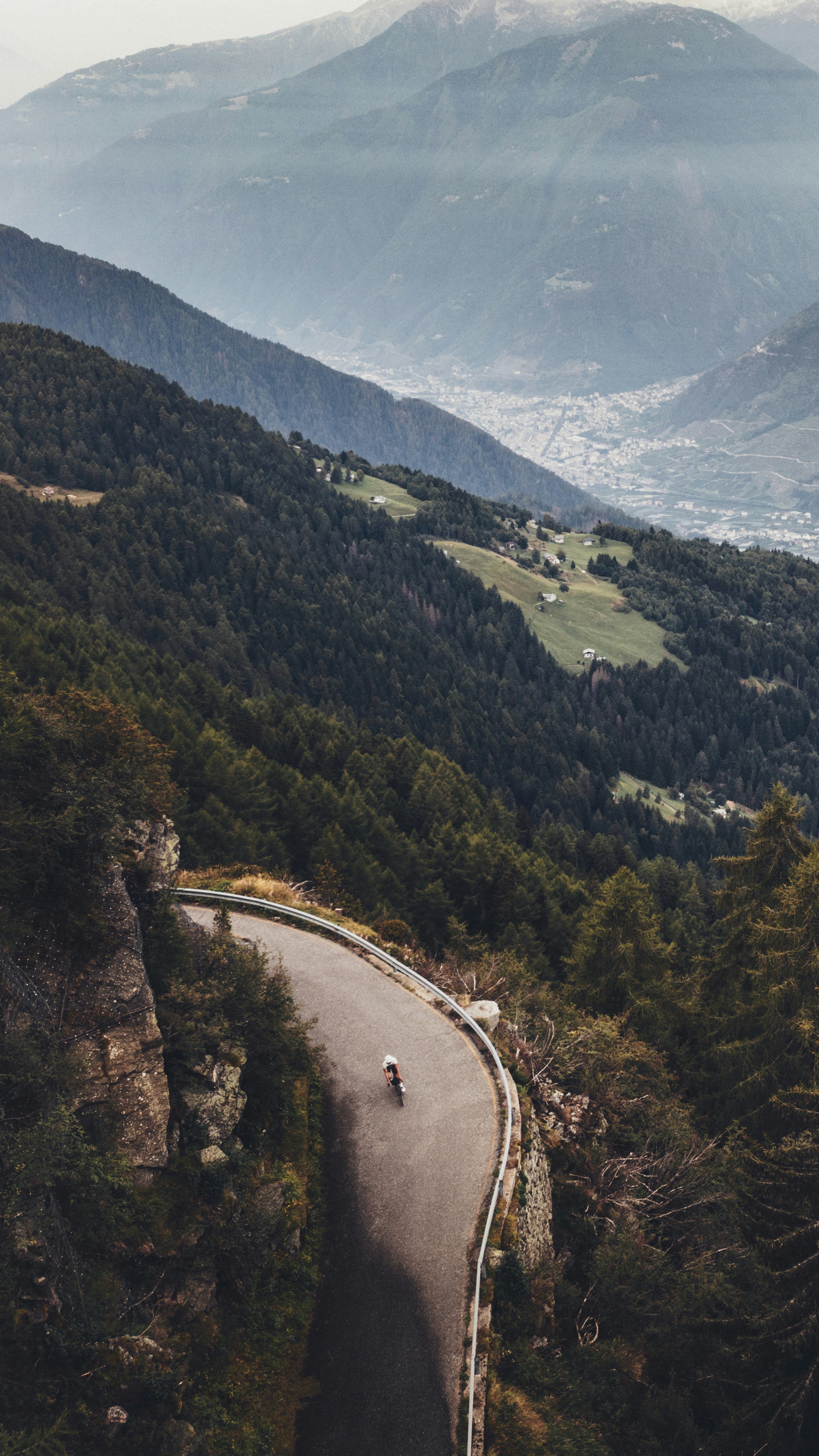
Bormio is the famed capital of ascents. But there are roads you have yet to discover.
Period
May - Oct
Elevation difference
7.258 m
Total Length
273 km
Duration
2 Days
A
Secret Bormio
00
Intro
01
Eita, Fumero, Bormio 2000, Valle dei Forni: discovering new destinations
02
The wrong ascent to the Mortirolo pass and the correct one to Gavia: a cocktail for climbers
In upper Valtellina, there’s no risk of this. Here you go from the classics Stelvio pass, Gavia and Mortirolo, just to name the best known, to the less conventional ascents, full of charm. We are talking about the green lakes of Cancano or the fascinating ascent to Fumero or the enchanting Valle dei Forni with its imposing and glittering glacier. If there is one place, in short, that seems to be made especially for the soul and body of the cyclist, this is certainly the plain of Bormio. A natural crossroads of several valleys and the perfect landing spot for your cycling discoveries. Once here, on this ideal launching pad at 1.200 metres above sea level, it’s time to hop onto your bike. And let yourself be enchanted by the beauty of nature. Once you get back, you can leave it to the famous thermal baths to do the job of restoring you: Bormio’s thermal water has been known to be precious since the time of the Romans, true experts in well-being. One of the first to praise its properties was Pliny the Elder, almost two thousand years ago, but a few centuries later Leonardo da Vinci was also to be intrigued by these spas. Bagni Vecchi and Bagni Nuovi are an authentic panacea for post-cycling muscle recovery. Equipped with bikepacking, I cycled for two full days. Both of them very challenging, this should be said straight away (the hight difference always above 3,000 metres and distances of over 100 kms), but totally rewarding.
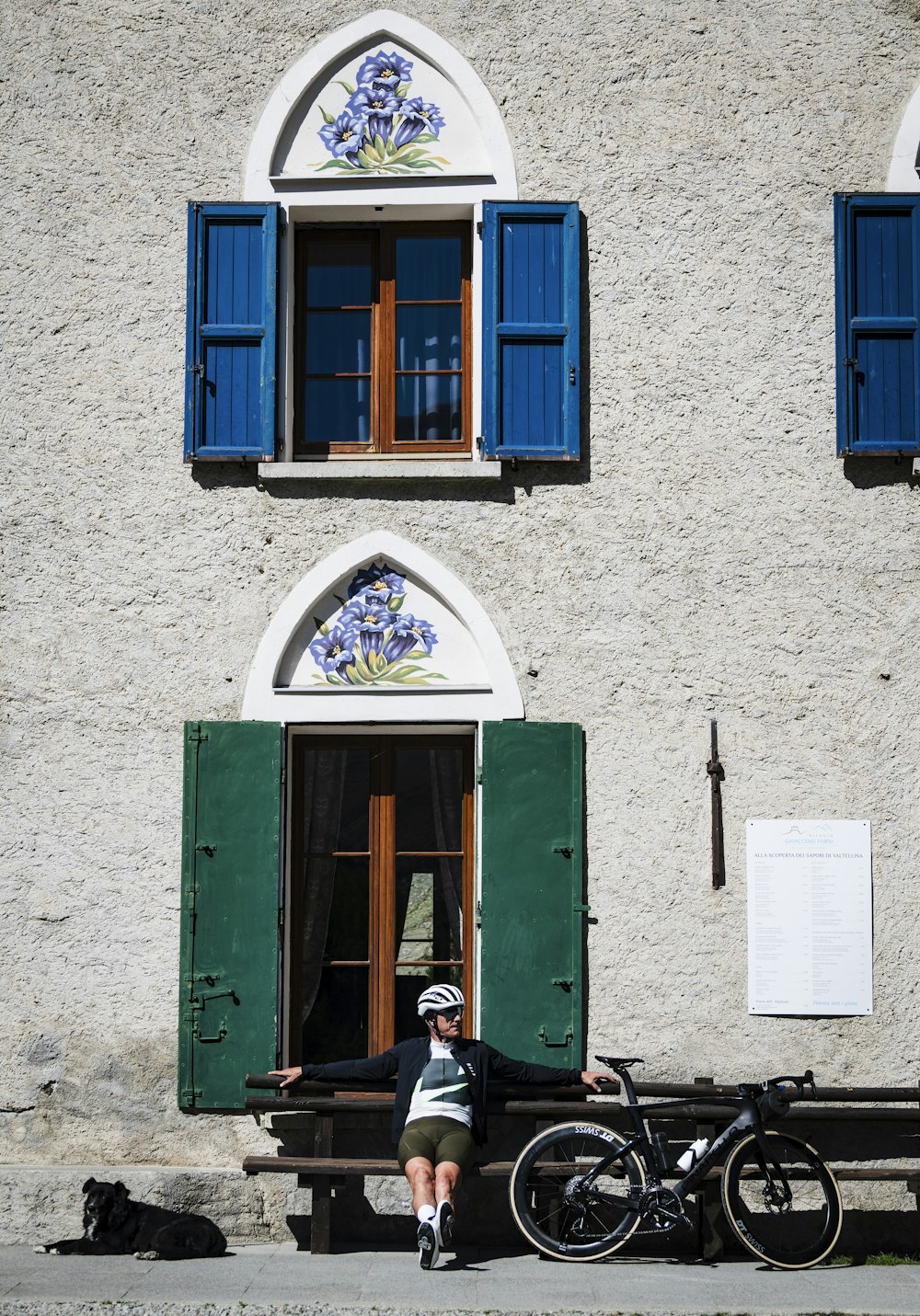
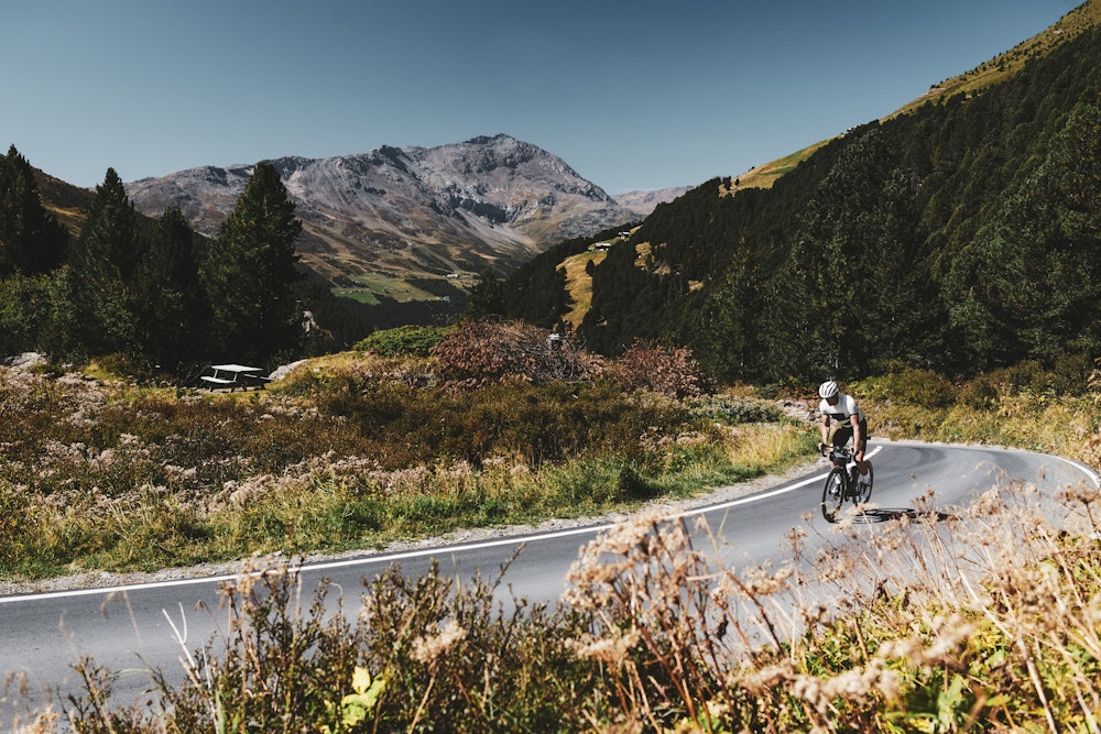
On the first day there were the pioneering climbs, that is to say, little-known but full of surprises: the Val Grosina all the way to the village of Eita, the ascent from Le Prese to Fumero, Bormio 2000 (admittedly, a little less trailblazing than the others) and, finally, the Valle dei Forni. From the latter I was able to enjoy a 360° view of all the mountain groups in the area: Gran Zebrù, Ortles and Cevedale. It is difficult to find a spot like this anywhere else.
The second day can only be described as a kind of revisited classic: that is to say Mortirolo plus Gavia, a must for every self-respecting cyclist, but this time from a different access. I cycled the Mortirolo from an alternative side, via the mysterious Passo di Guspessa…but now the time has come to tell you about these two days of intense emotions.
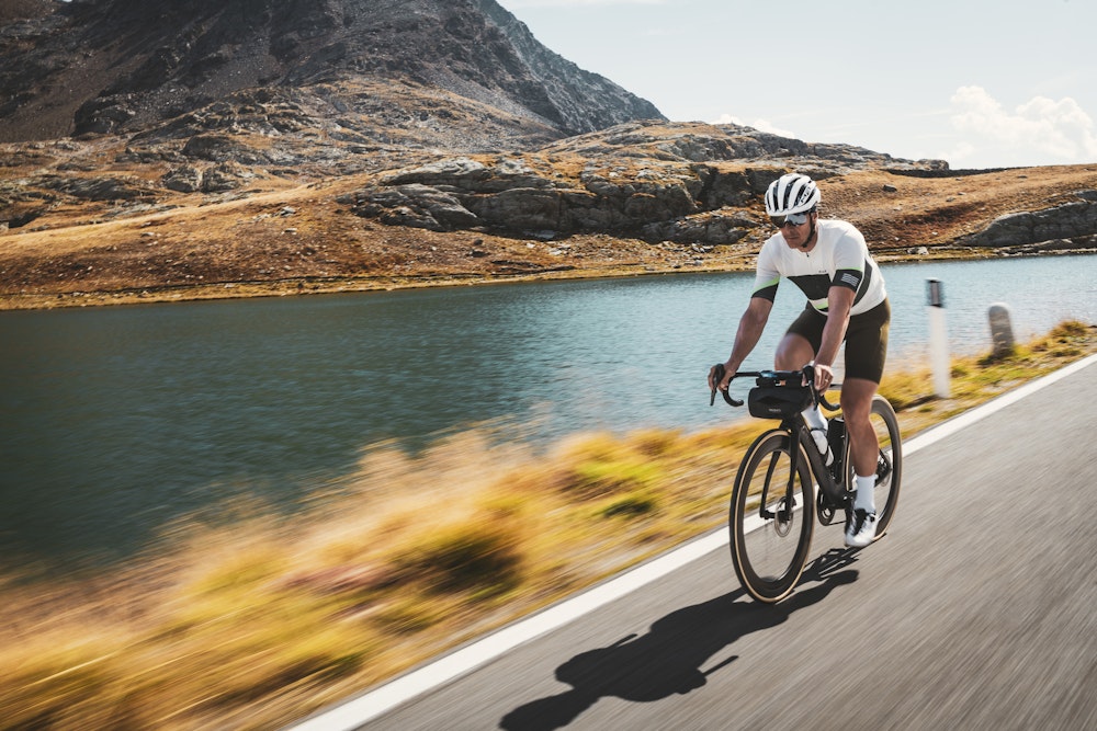
Bormio. I unload the bike from the car, hook the front wheel, stuff three protein bars and a windproof cape into my pockets, fasten my helmet and off I go. The sun is shining, I want to make the most of it, from high up the mountains.
It’s common knowledge that the weather changes quickly here and, considering that the day ahead of me will be very long (146 kilometres and 3,900 metres of altitude difference), the possibility of running into an afternoon thunderstorm is not to be overlooked. I cycle through the historical centre: Bormio is divided into small quarters, called contrade, there’s even a Palio (held in February, when athletes compete in various skiing disciplines). There are five contrade in Bormio: narrow, ancient lanes, rural stone houses with sloping roofs and walls often decorated with medieval frescoes. Each of them has its own banner, its own colour and its own symbol. I am particularly struck by that of the contrada Combo: a cat with sharp nails. Acting as peacekeeper between the five districts – quite literally passing through them – is the impetuous Frodolfo torrent that descends from Valfurva, the valley that from Bormio goes up to the famous Passo Gavia. I head towards the sports fields: it’s from there that the Sentiero Valtellina starts.
A spectacular cycle path, recently completed, which follows the entire course of the Adda River, where you can cycle from Bormio to Colico, on Lake Como, and vice versa: 114 kilometres in all.
Along the Sentiero Valtellina, descending towards Cepina and Sondalo, you can see the Val Pola landslide, a sign of the dramatic tragedy that in 1987, after days of heavy rain, devastated the whole of Valtellina and changed its orographic conformation forever. There is a monument commemorating the victims of that calamity. I stop, unclip from my pedals and listen to the sound of the wind in the branches, thinking about that day.
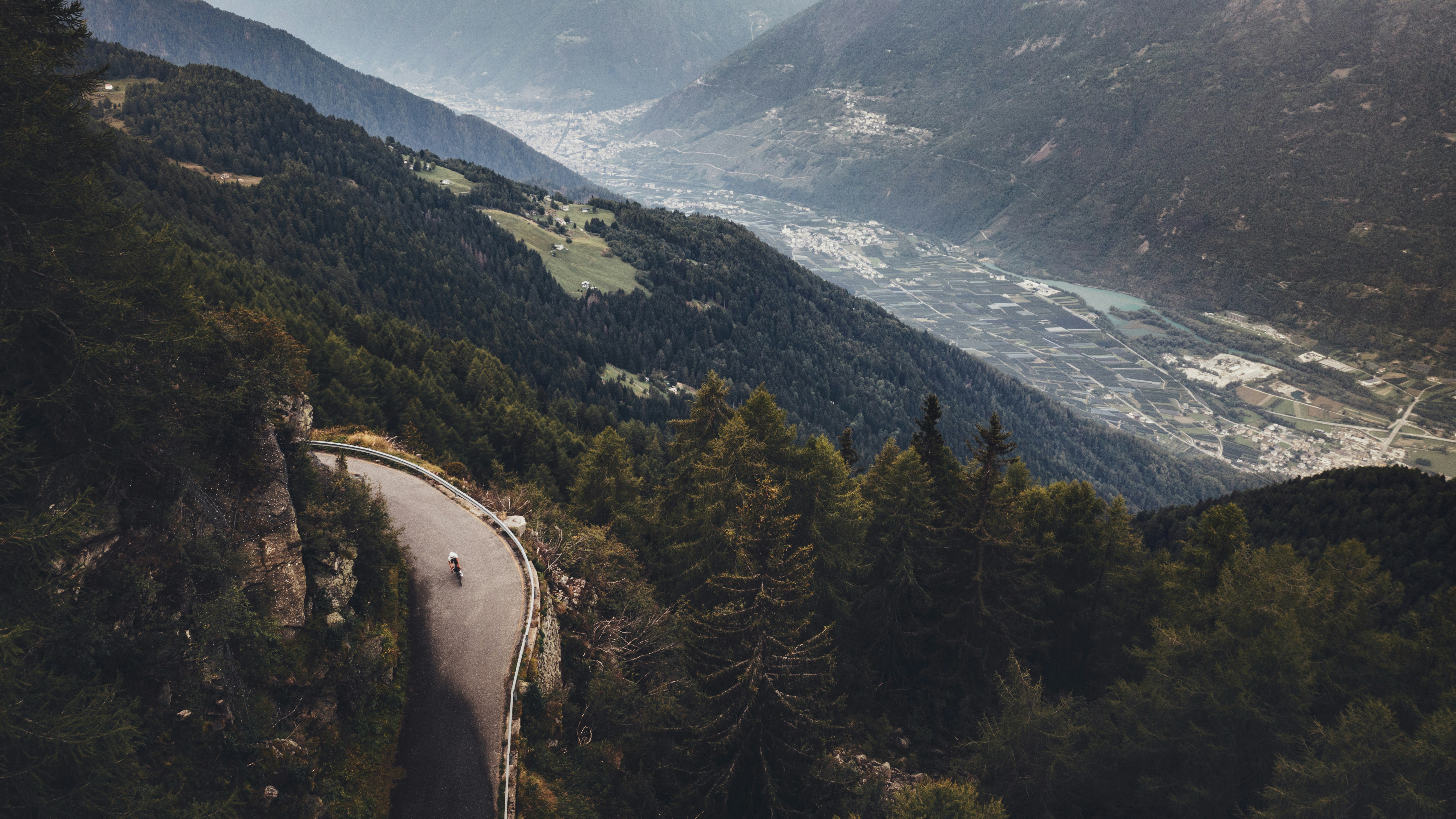
After a few kilometres downhill, I see on my left the road that from Le Prese climbs up the eastern slope of Alta Valtellina to the hamlets of Frontale and then Fumero, which I will cycle later in the day. Last night, in my room, checking the GPS file of the route, it all seemed to me to be downhill. But seeing it now from the bottom of the valley I understand this is not the case: the ascent from Le Prese will be tough, almost as if the town’s name, Le Prese – which means something like ‘the garbs’ in Italian – is a warning about the energy that will be sucked out of you.
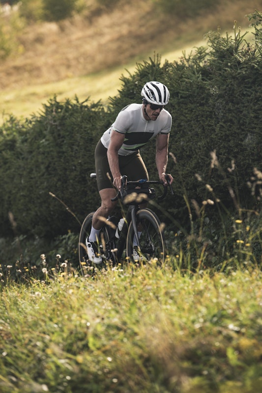
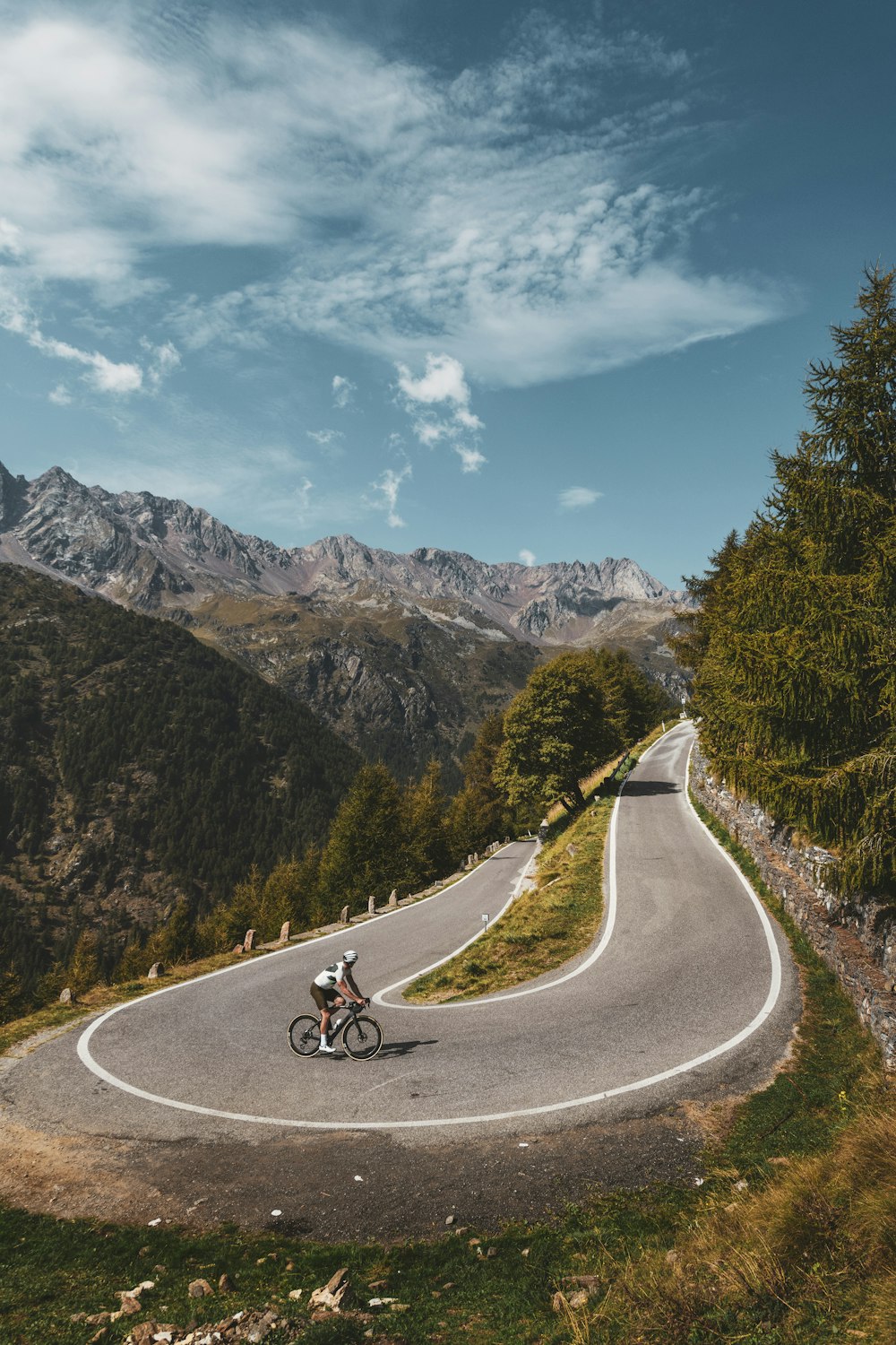
But the first real ascent comes shortly afterwards, from the town of Grosio: this is the climb that will lead me, after a good 15.5 kilometres, to Rifugio Eita (1.720 metres). I gear up on 34, I lighten the rear cassette by two or three teeth, take a swig of water and immediately tackle a series of hairpin turns that take me out of the village. I’m now on the side of the rocky wall of the Val Grosina and, after the village of Ravoledo I meet a second picturesque village: Fusino. Here the slopes become decidedly severe: a gradient of 12% that’s like a razor slash. After the bridge, another series of hairpin bends leads me into the narrow gorge of Roasco: here, at last, I see the bell tower of a church peaking ahead of me: the bell tower of Eita, my destination. The descent takes me back to Grosio and then to Le Prese. Here awaits me a new, unconventional climb: the little-known but beautiful ascent to Fumero. It’s a typical mountain road leading to the summer alpine pastures. The first ramp is tough, then it becomes easier in the second part. I only hear the swish of the bike chain passing from one pinion to the other as I wander through green meadows, dotted with little groups of small houses. The view opens up now over the entire valley floor and all the main peaks of Valtellina. Once past the village of Fumero, the asphalt soon ends at Fontanaccia. My second climb of the day also ends here. In fact, only mountain-bikes can continue along the dirt road into the wild Val di Rezzalo. As I return to the valley floor, I am forced to stop: the road is invaded by a herd of goats. A shepherd explains that these are a native breed: the Frontalasca, also called Frisa Valtellinese.
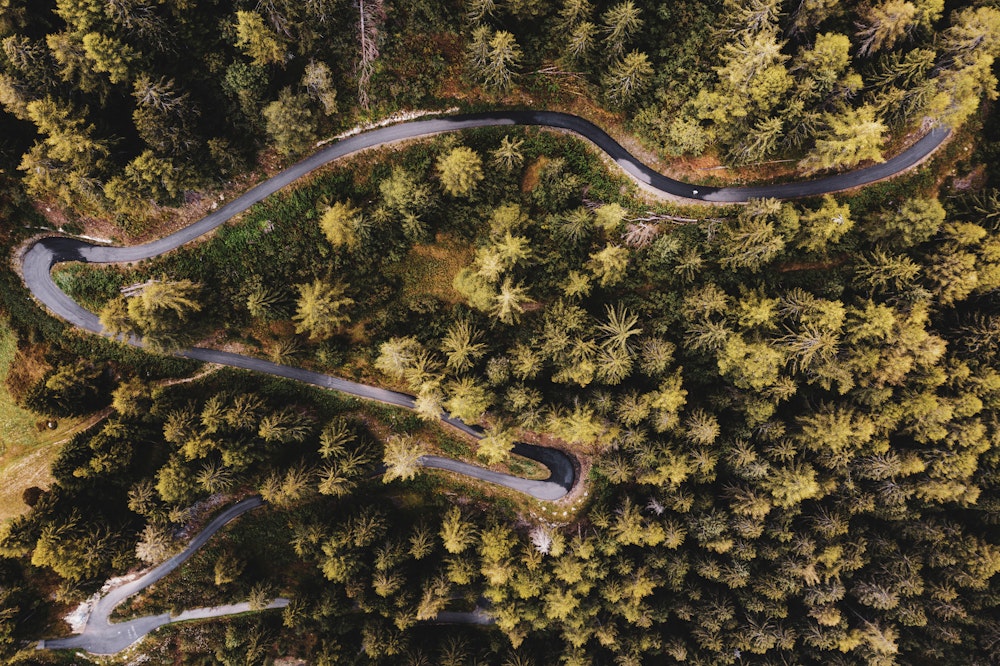
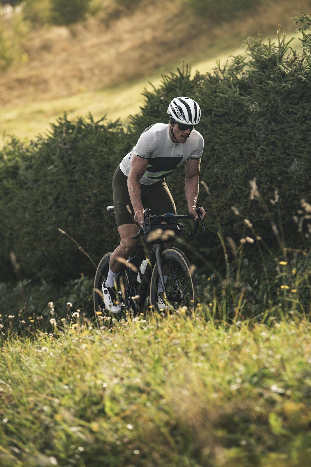
I let them pass, as they look at me with suspicion. I set off again in low grip position along the hairpin bends and then I take the now familiar Sentiero Valtellina to Bormio. I’m certainly not headed back to the hotel though. There are some more deadly ramps on a new climb that awaits me. This is the climb that leads up to Bormio 2000, a well-known destination for cyclists, where the famous Stelvio track passes. It’s only 9 kilometres but a good 750 metres of altitude gain, with an average gradient of 8% and passages at 14%.
I discover a climb that is just as good as the other more celebrated ones of the of the Bormio plain: I sit down on the saddle along the straight stretches and stand up on the pedals when I get to the hairpin bends. Green meadows and dense fir forests come one after the another; about halfway up I get to the crossroad for the small village of Ciuk, where there is a mountain hut with a breathtaking panoramic view. But I must not fall into temptation: my destination is further up.
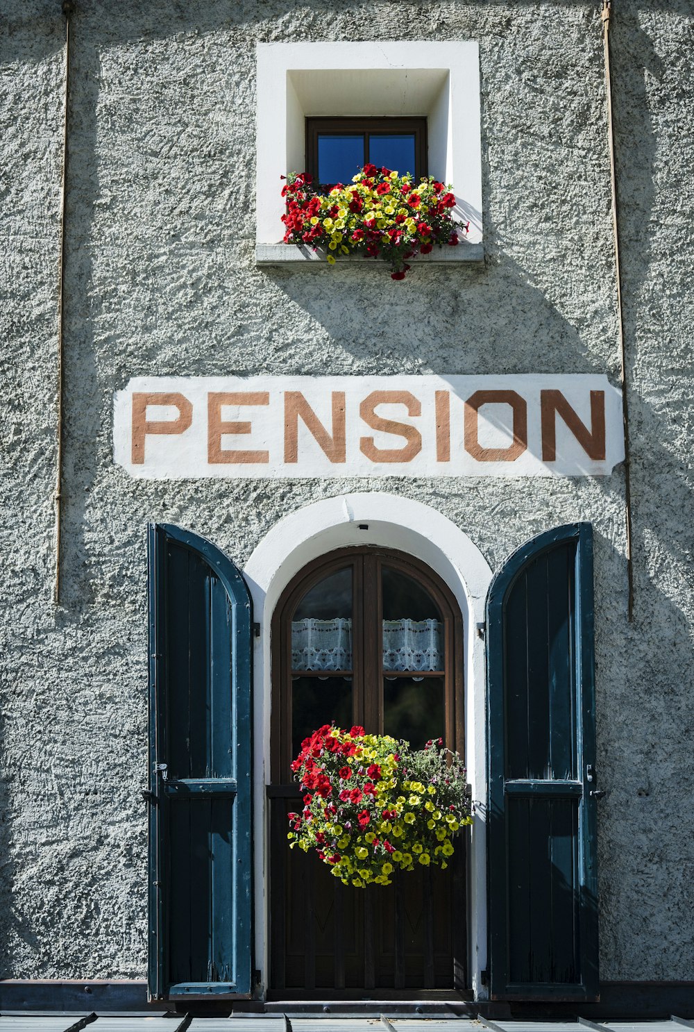
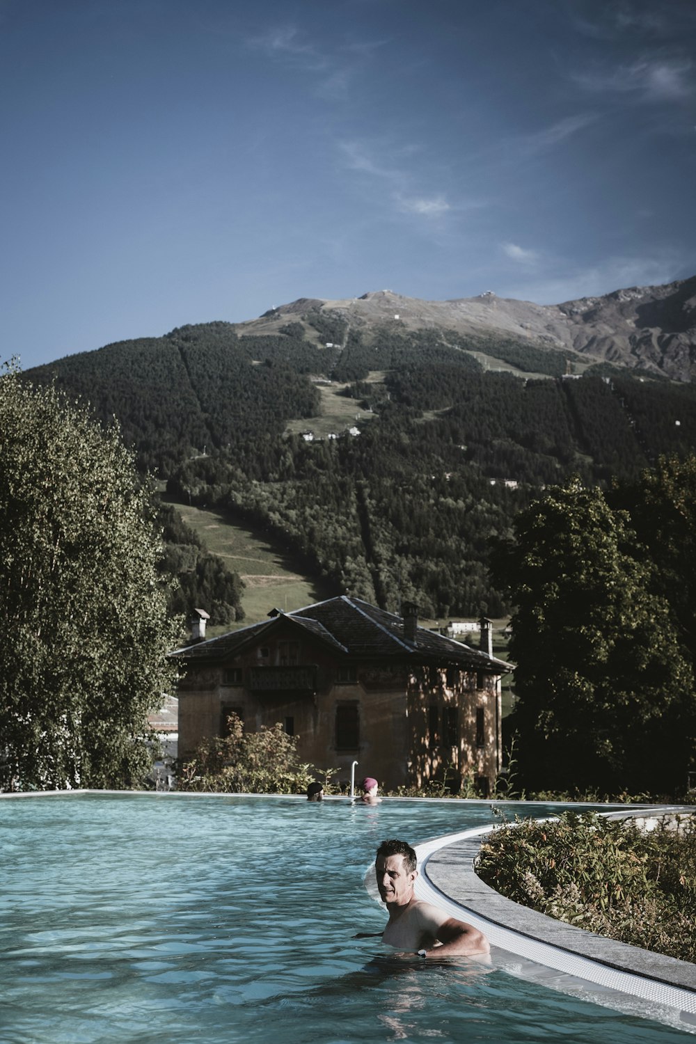
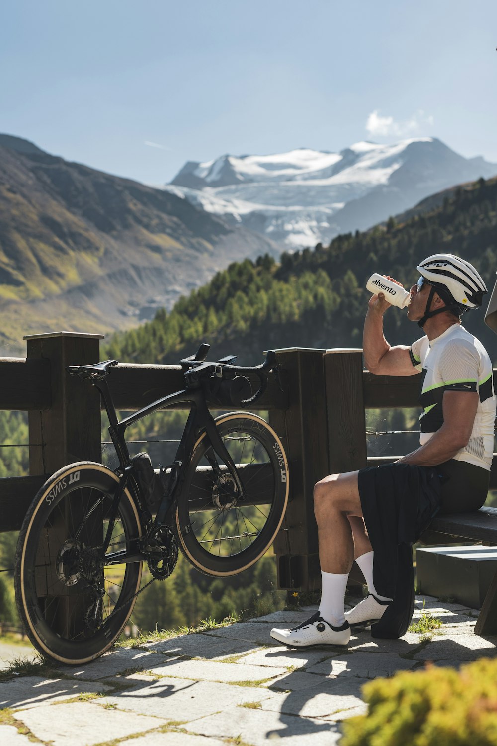
With my legs getting increasingly sore, I finally reach the summit near the arrival station of the cable car where I can enjoy the view: from here your gaze can embrace the crest of the Reit, Cima Piazzi and Monte Vallecetta, all of them set like an amphitheatre around the Bormio plain. A popular area for ski mountaineers, Bormio 2000 will be the theatre for the debut of ski mountaineering at the next Olympics in Milan Cortina 2026. After the descent to Bormio, one last challenge awaits me. The ride that will lead me to Santa Caterina Valfurva and then along the splendid Valle dei Forni, from which a spectacular view of the glacier can be admired. And what a climb! I touch upon dizzying slopes: 20% gradient ramps, and a rather bumpy road, but my 32mm tyres spare me any kind of trouble. The Valle dei Forni is in the heart of the Stelvio National Park. A magical, special place that no cyclist can miss: suffice it to say that the homonymous glacier is the second largest in Italy, after the Adamello. At the Forni mountain lodge (2.176 metres), having gone as far as the asphalt road will take me, I get off the saddle and continue on foot. I take off my cycling shoes and put on a pair of hiking boots. After crossing some wonderous Tibetan bridges suspended over the roaring waters of glacier’s streams, here is the conclusion of a day of pure contact with nature. The blue and cobalt light of the glacier dazzles and amazes: I doubt I’ve ever seen a spectacle quite like this one.
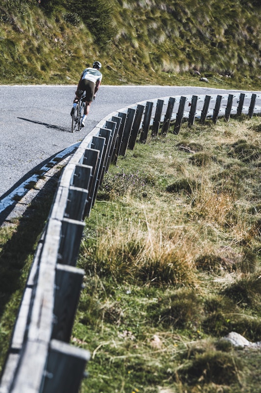
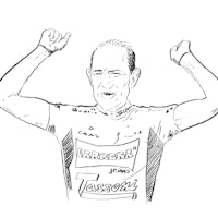
There are four slopes from where to reach the Mortirolo: from the one on the side of Valtellina you ascend from Mazzo, Tovo and Grosio; from Brescia, you arrive from Monno. It doesn’t matter where you start from because conquering the top is always the crucial goal for every cyclist. On 5th of June 1994 Pantani celebrated here one of the first great triumphs of his formidable career (see infobox). However, personally I’m no Pantani and I’m going to face the Mortirolo from a new road today. That’s to say I’ll be going up a fifth route, still new to cyclist. And a very hard one: the Guspessa pass. I take the road to the pass from Sernio, just after Tovo. Tackled by the under-23 Giro d’Italia in 2022 for the first time, the road is as good as the one on the more noble side of the Mortirolo, going through Mazzo: a narrow road, with an average gradient of 11.5%, and peaks of 17%. In 10 kilometres you will gain 1.224 metres of altitude!
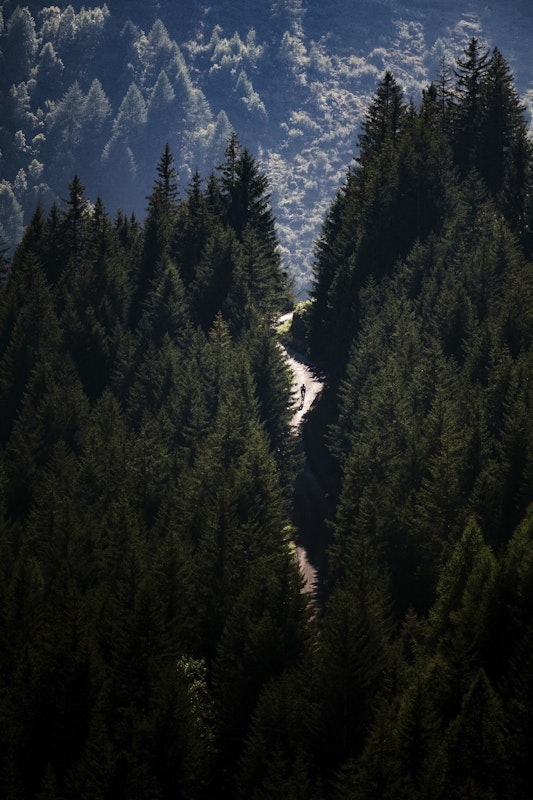
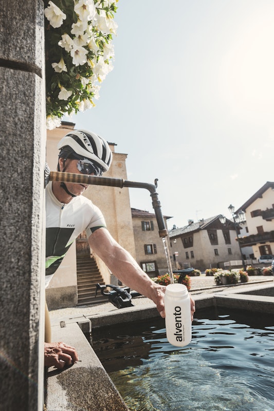
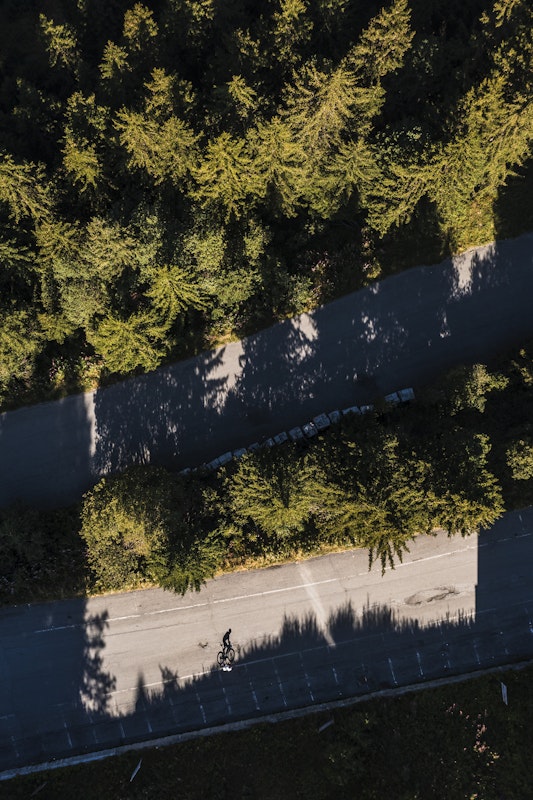
I cycle up through the woods, in total silence, there’s not a soul to be seen, I only hear my breathing getting heavier. I’m getting into my flow: a magical flow halfway between a trance and a psychedelic dream. Without even realising, I reach the pass at 1.855 m and from here, after another 7 kilometres, definitely less challenging, I rejoin the Mortirolo. And it is precisely this stretch that is the most beautiful, with thrilling views of the valley below. I put on my cape, take the standard selfie while standing before the Mortirolo Pass signpost and then I plunge down the breathtaking descent to Monno and then Edolo. The air is fresh, vibrant, it feels like a hard job’s reward, my legs regain strength, my lungs catch some air, my eyes get teary from the beautiful stretch I have just covered. In Edolo I top up my water bottle and stop to listen to the roar of the Oglio river. Now I’ll be climbing it upstream: the sources of the river are as high as the 2.621 metres of the Gavia Pass. The ascent to the Gavia starts officially from Ponte di Legno. It’s sunny and warm today, but I know that it’s going to be very cold at the top, as if you were entering some kind of natural refrigerator. The Gavia pass, after all, is an unwelcoming place, raw, frequently stormy. One of the very few areas in Europe where it is still possible to find climatic features typical of the Arctic tundra, i.e. of the last ice age. What’s more, the frightful stage of 1988 has entered the mythology of the Giro, going down in history as the of the Bufera del Gavia, the Blizzard of the Gavia.
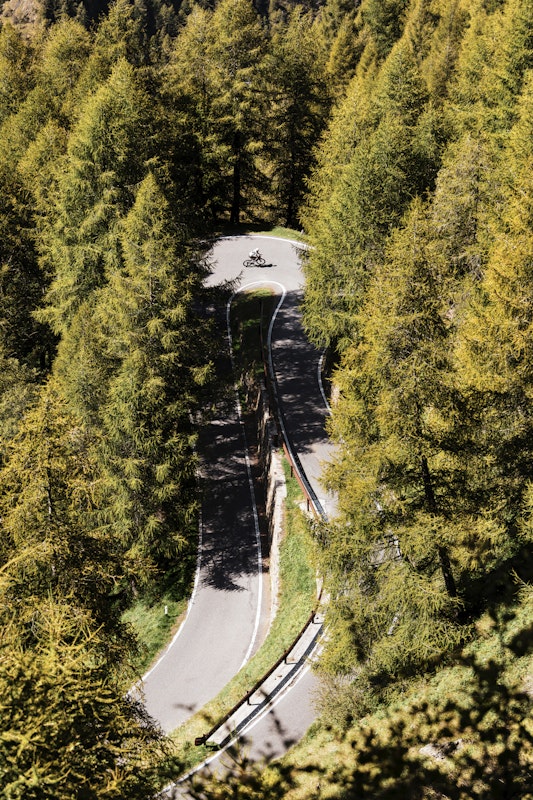
After leaving Ponte di Legno, the first part of the climb runs through the woods, then, after passing a bar and a 17% gradient ramp, at around 2.000 metres, the landscape opens up. The hairpin turns seem to be literally scattered in open space: the road is very exposed and there are no guardrails; not so long ago the road wasn’t even paved. To my left I see the glacier from which the River Oglio flows; in front of me is a long tunnel, as dark and black as a whale’s gaping mouth. For some years now it has been equipped with lights, but don’t rely on this too much: you can see little or nothing. I switch on the rear and front LEDs and enter, pedalling nimbly into the cavern. The tunnel is curved and steep. But at the end I can see the small circle of light of the exit that guides me. Once outside, as expected, the temperature drops by at least 5 or 6 degrees: the air is almost wintry despite this being a summer day. The Gavia is like another world. Lunar, beguiling like no other place. After a brief stop at the legendary mountain hut Rifugio Bonetta, where I warm up and have something to eat, I pass the two small glacier lakes, Lago Nero and Lago Bianco, and then plunge down the very long dive to Santa Caterina Valfurva and then home, to Bormio. Now it’s really time for hot springs and thermal baths.
Bike type
Road
* informazione Publiredazionale
Texts
Giacomo Pellizzari
Photos
Alo Belluscio
Cycled with us
Daniele Schena
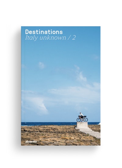
This tour can be found in the super-magazine Destinations - Italy unknown / 2, the special issue of alvento dedicated to bikepacking. 12 little-trodden destinations or reinterpretations of famous cycling destinations.
