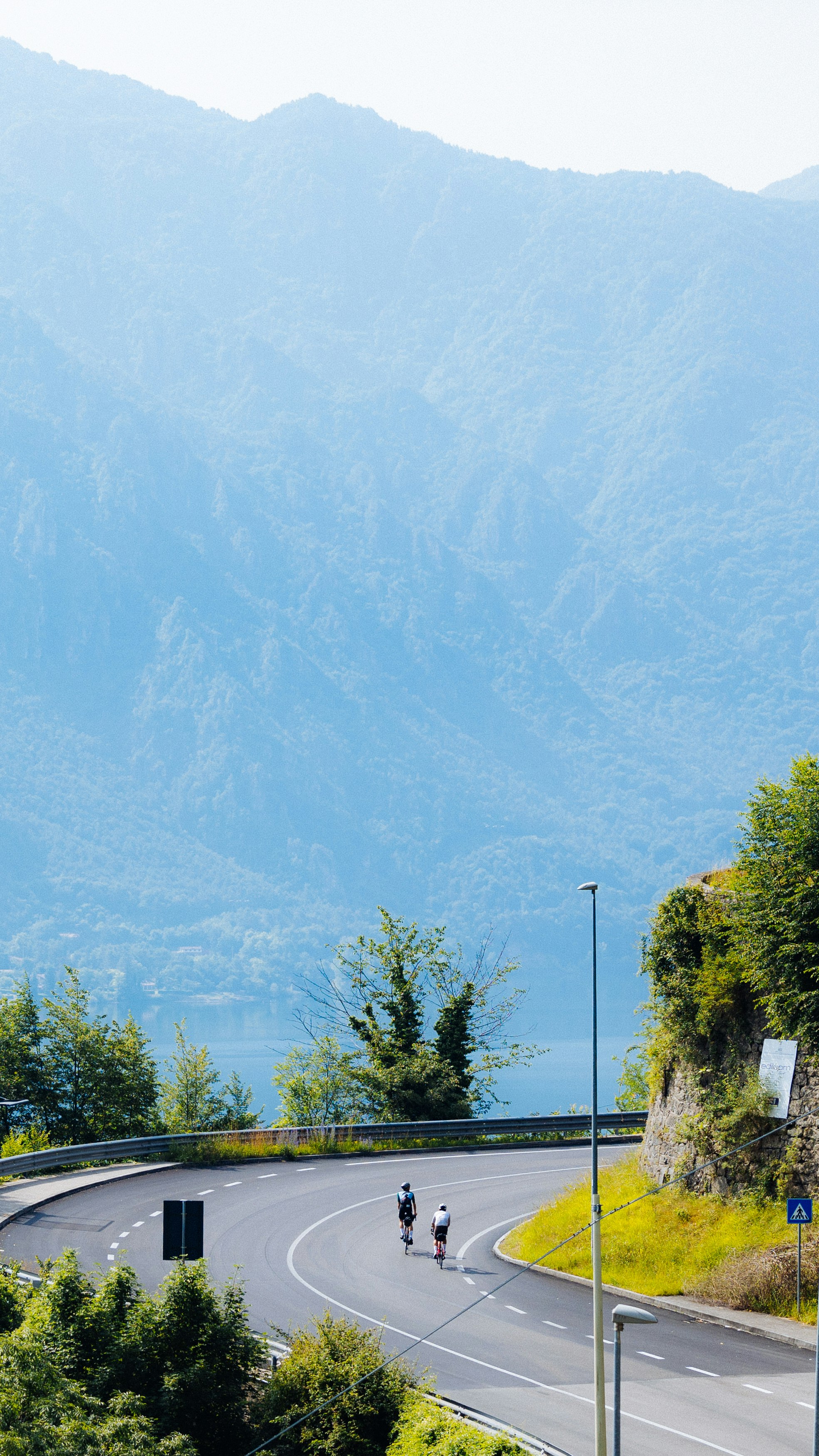
The valley of signs
Vanish without a trace in Alta Valcamonica.
Period
Apr - Oct
Elevation difference
6.746 m
Total Length
504 km
Duration
3/5 Days
T
The valley of signs
00
Intro
01
Maniva and Crocedomini: lakes, cheese and ancient military roads
02
Vivione and Ponte di Legno: the silence of the Dolomiti di Scalve and the magic of Adamello
03
The Oglio river as a beacon, the Pianura padana as our destination
But the valley that runs up the Oglio river, from Brescia to Ponte di Legno, zig-zagging between two provinces, whose main cities- Brescia and Bergamo – are, jointly, Italian Capitals of Culture this year – is indeed a natural treasure trove waiting to be discovered.
If many amateur cyclists have travelled over the Passo Crocedomini, few have reached it from the Giogo del Maniva, travelling along an old, mostly unpaved military road. If almost everyone is well aware of what the Prealpi Orobie are, many instead fail to recognize the term Dolomiti di Sclave, the area at the foot of the Presolana and Vivione mountains. If the town of Ponte di Legno, which means ‘Wodden Bridge’ in Italian, is famous as the starting point to climb the Gavia, Tonale or even Mortirolo passes, how many cyclists have actually crossed the bridges – which are truly wooden bridges – of the beautiful Oglio cycle path, a paradise for two-wheelers? How many cyclists have actually followed its natural course almost to its confluence with the king of rivers, the Po?
As for us, we actually did venture out there. In search of these lost highways, as David Lynch would put it, and their anomalies. That is, off the typical maps and usual routes. Paradoxically, we went to Valcamonica to lose our own way, only so as to point you in the right direction.
From the Maniva we reached the Crocedomini. From Vivione we raced to Ponte di Legno and then down to the peat bogs of Lake Iseo, up to Franciacorta with its sparkling vineyards, to the areas of Mantua and Cremona. Everything we saw was noteworthy. So much so that it’s even difficult to summarise here, in a few lines, those feelings and sensations.
There were never two identical places, in what, to all intents and purposes, was a journey through time and space. At the right pace to enjoy everything you see, the landscape changes constantly, as do its traditions, cultures and scents. Perhaps this is why the Valcamonica is called the Valle dei Segni. The main reason for this name is that its rocks preserve one of the most extraordinary testimonies of stone engravings, listed for years now among the UNESCO World Heritage sites. But it’s the whole environment that leaves its trace upon the curious traveller. All it takes is to know how to grasp those signs.
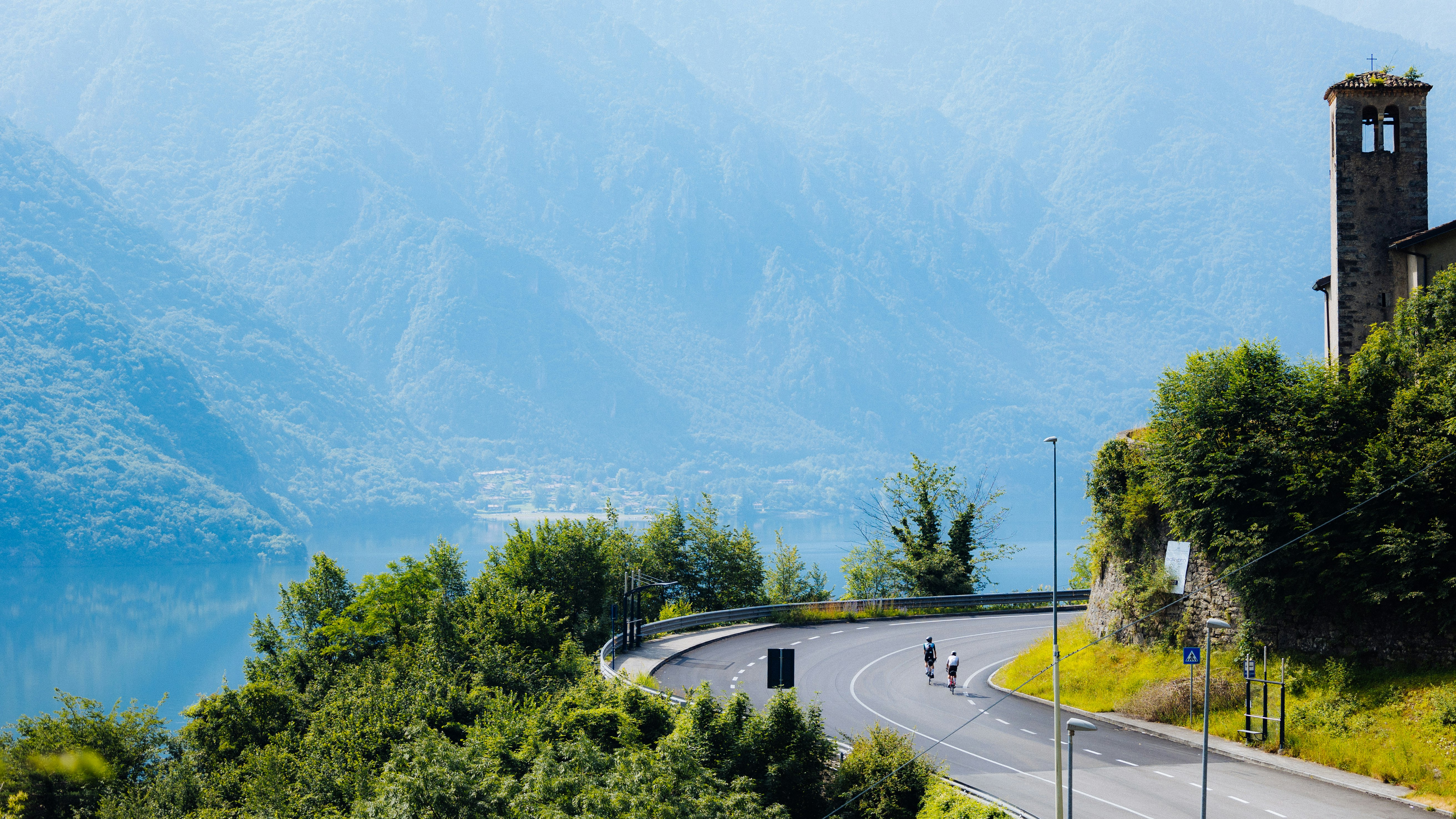
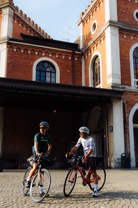
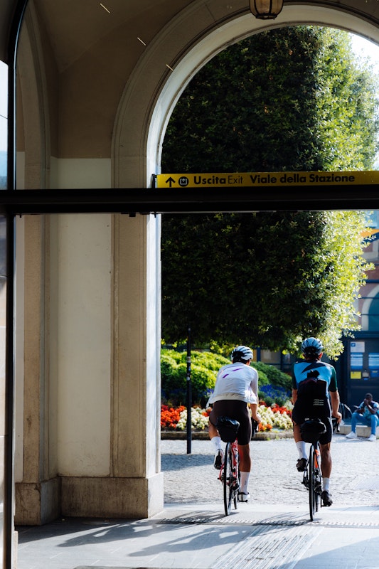
The train station at Brescia welcomes us with a gust of warm wind. This wind’s name is Föhn. It is the early hours of morning, but the temperature is already high on this day at the beginning of summer. Gabriele looks over and points me in the right direction: as fast as cats we cross the historic centre of the Leonessa. Past Piazza della Vittoria and Piazza della Loggia, we proceed towards the Monastero di Sant’Eufemia, which these days hosts the Museo delle Mille Miglia. We then take the cycle path that follows the Naviglio bresciano and then the Chiese river. We go up the watercourse as far as the Idro lake. This cycle path was built by recovering an old railway track. Once past the western shore of the lake, the first climb awaits us: the giogo del Maniva (1669 m).
The first 50 kilometres so far have been easy: flat, smooth, companiable and with eyes intently lost in the landscape. Now in front of us stands the Rocca d’Anfo, a 15th century fortress built at 700 m above sea level. This is the sign telling us we are now practically there: on our left, the turning for the passo Crocedomini and Maniva. Here thy nobility shall be manifest! [Dante Alighieri, The Divine Comedy].
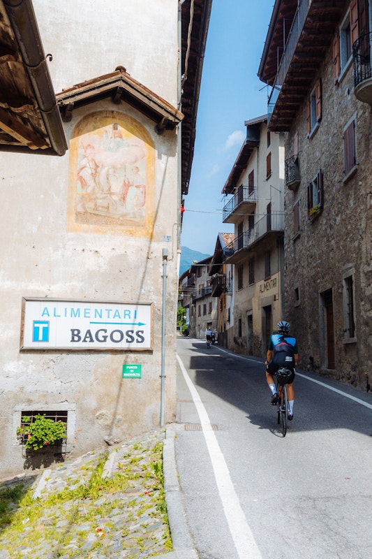
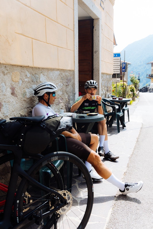
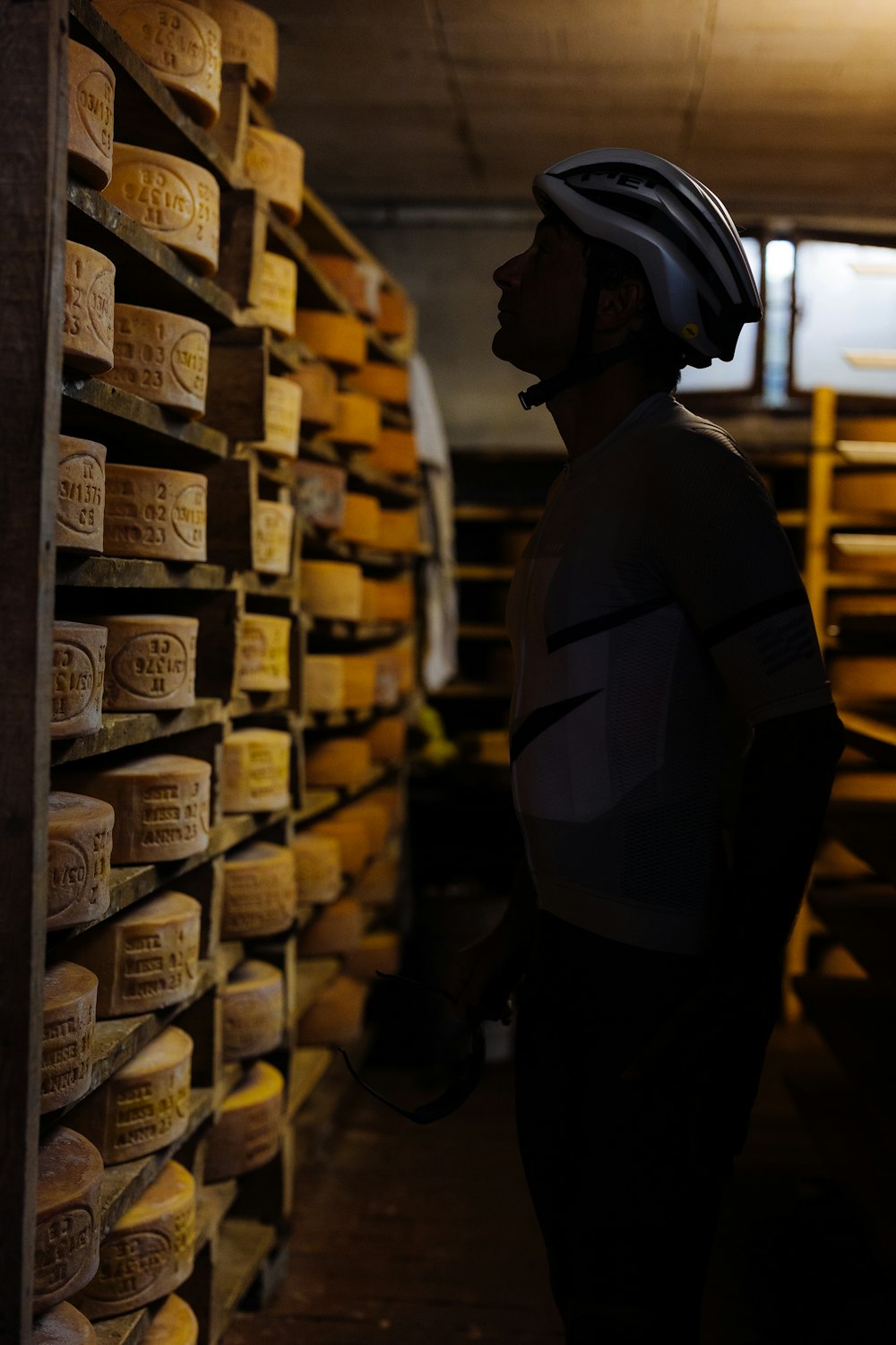
The official ascent, to tell the truth, begins in Bagolino. Bagolino is a small village, perched between the mountains of the upper Val Caffaro, known above all for the Bagòss, one of the world’s most prized cheeses, which is produced only here, with milk from the cows that we see grazing in these alpine pastures. We befriend a local producer who invites us to come and see the cheese wheels being ripened. And he warns us: ‘Only this is authentic Bagòss, the others are just imitations!’ He explains that the older it gets, the spicier it becomes: when the ripening gets over two years its flavour requires very strong palates. We taste three different samples: each more delicious than the next.
Nourished by this delicacy, we set off again towards Maniva. The climb now becomes steep, entering a forest at a gradient of about 10%, with even steeper peaks.
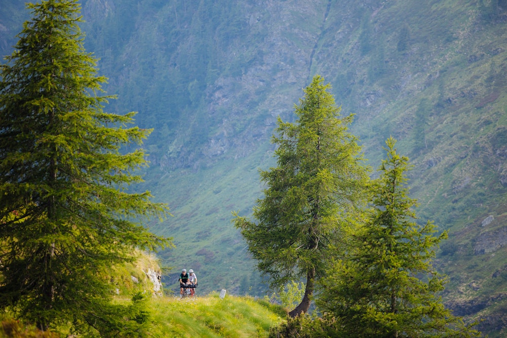
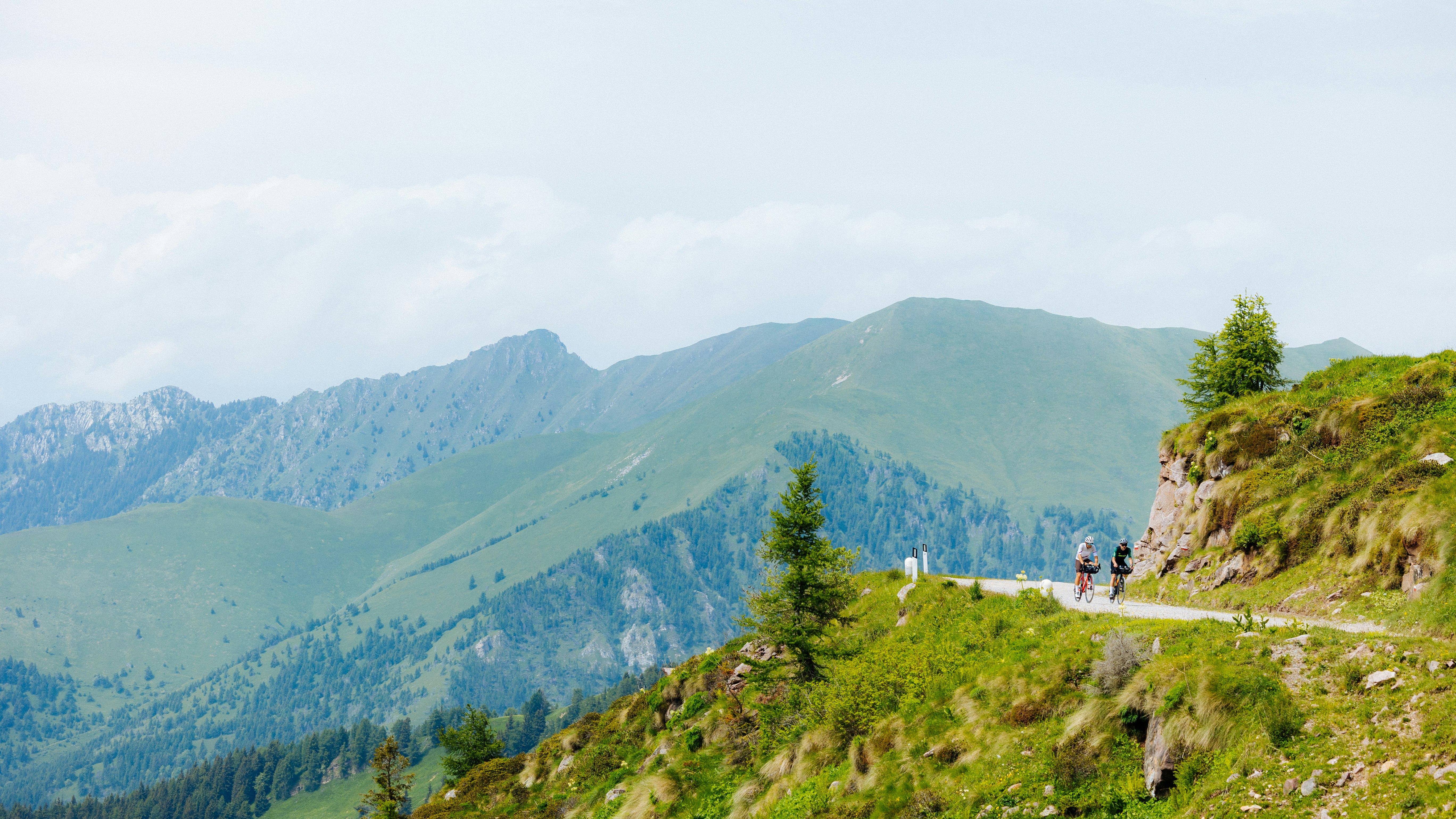
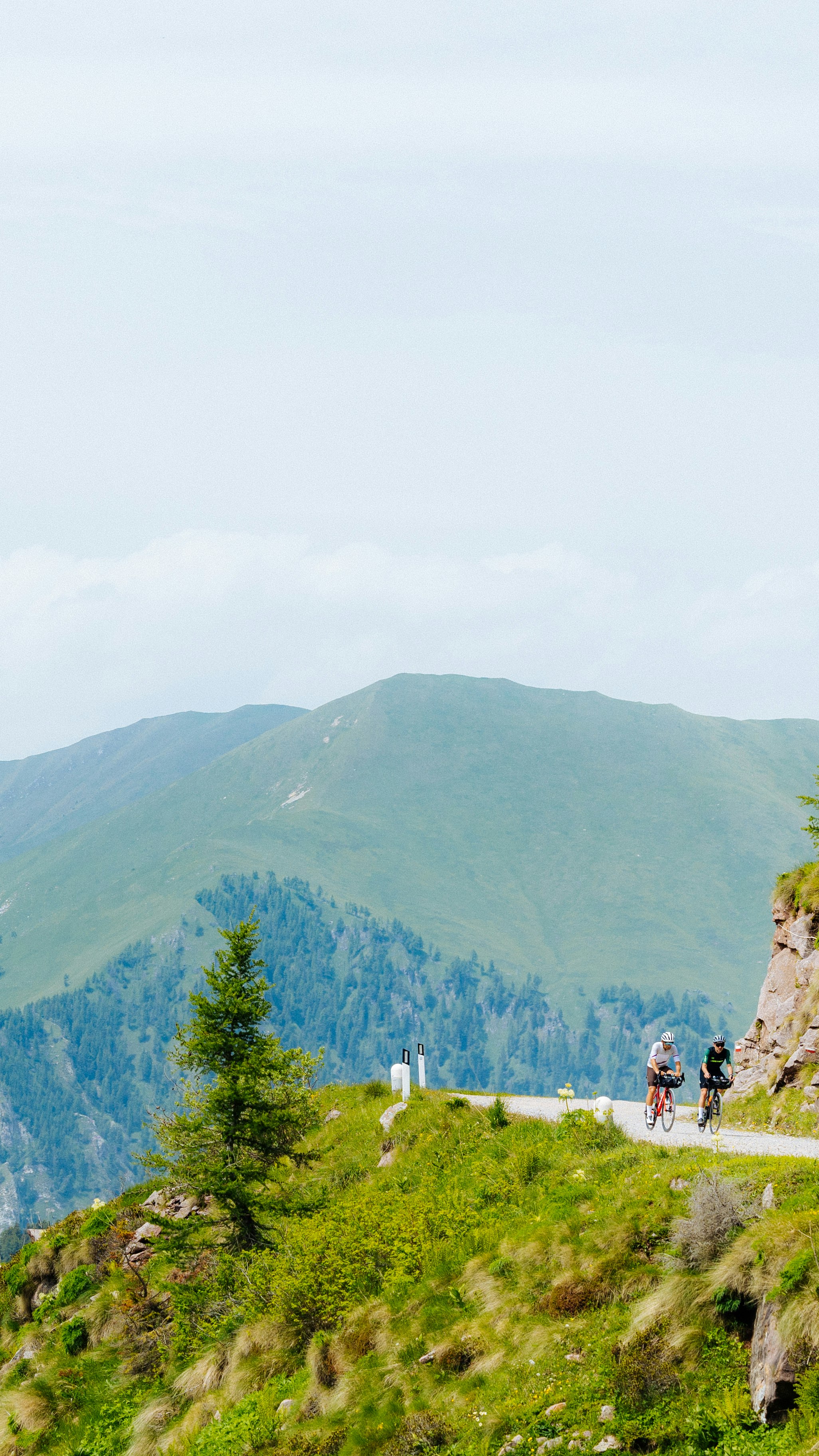
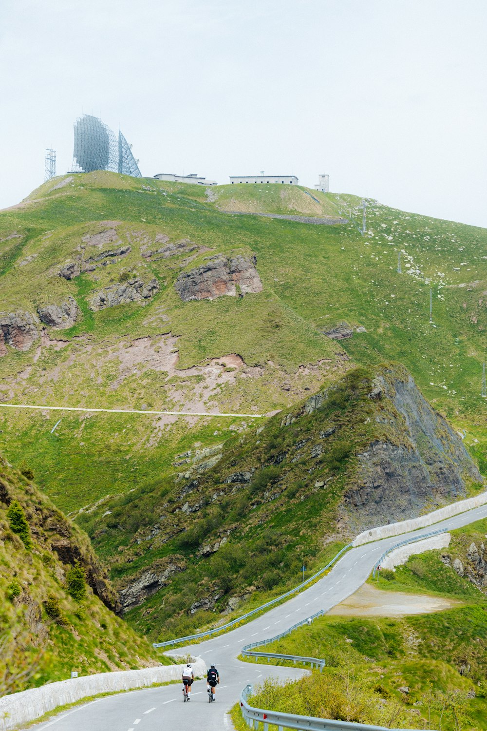
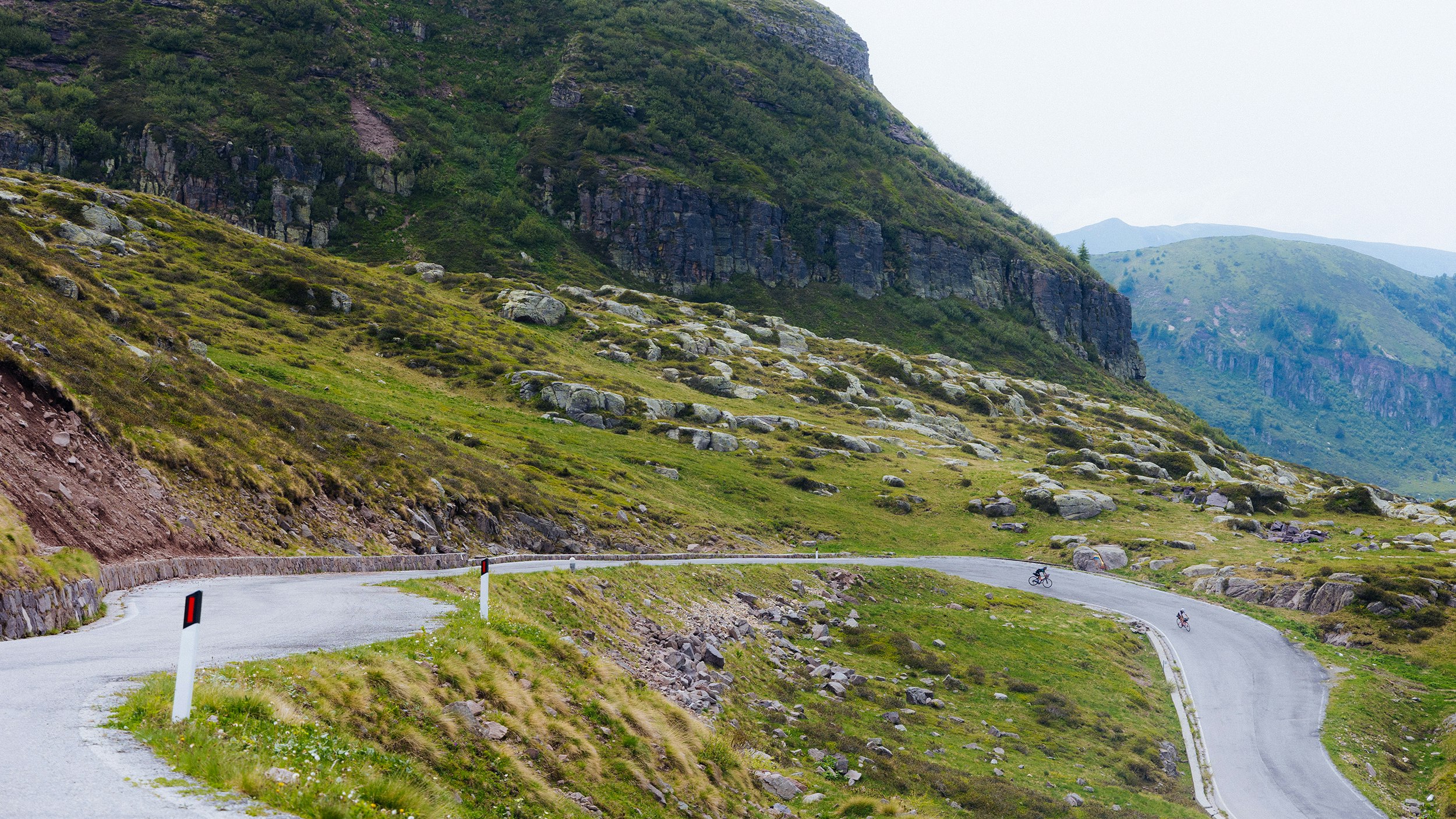
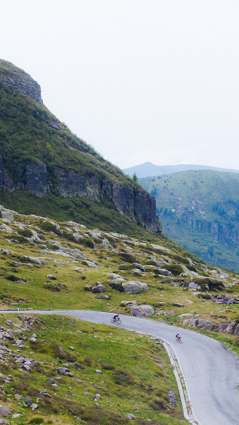
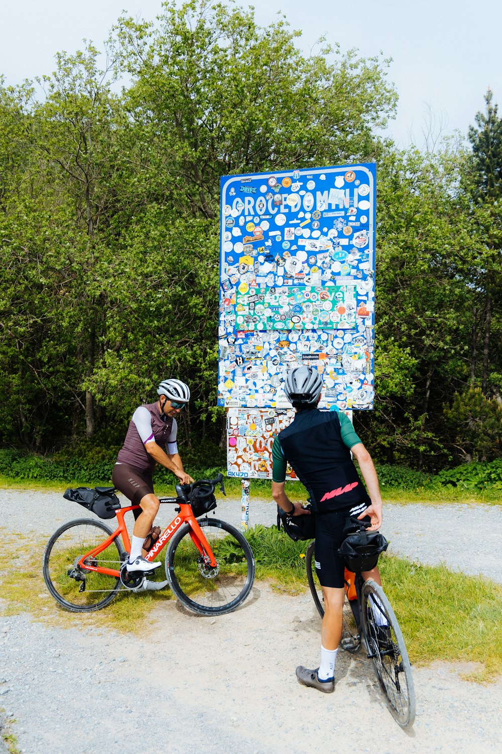
And it is indeed an ancient military road that joins Maniva with its twin pass, the Crocedomini after 17 kilometres of ups and downs. Before getting there however, we see the most beautiful point of the entire day’s stage: the so-called Dosso dei Galli, a thin strip (still paved at this point) that continues at an altitude between 2.000 and 2.200 m. Until 1995 there was even an old NATO station here. The next stretch is instead unpaved and it can still be covered with road bike, but with suitable tyres. In total it’s 9 kilometres, interrupted in the middle by a short section which is still paved. Situated south of the Parco dell’ Adamello, the pass, that is sometimes written as two words, Croce Domini, takes its name from the Crux Domini, a wrought-iron cross that served as an ancient border signpost: on one side the territories dominated by the Republic of Venice, on the other those of the Principality of Trento. We’ve reached an altitude of 1895 metres. The last stretch, a downhill dirt road leading to the pass, is demanding: steep and in rather bad nick. We recommend you approach the slope with caution. From the Rifugio Crocedomini, with red shutters like you find in fairytales, it’s all downhill to Breno. And then, finally, it’s pub time.
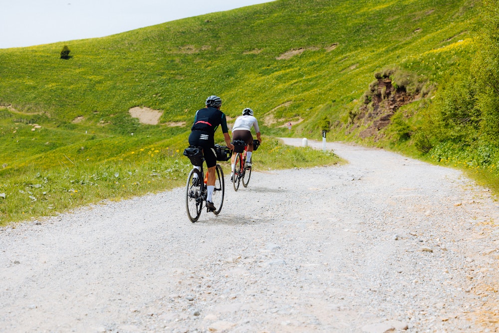
Cividate Camuno, 6am. The second day starts earlier than the first: there’s more kilometres to cover and more altitude to climb. Two ascents are on the agenda: the Croce di Salven (1108 m) and then Passo del Vivione (1828 m).
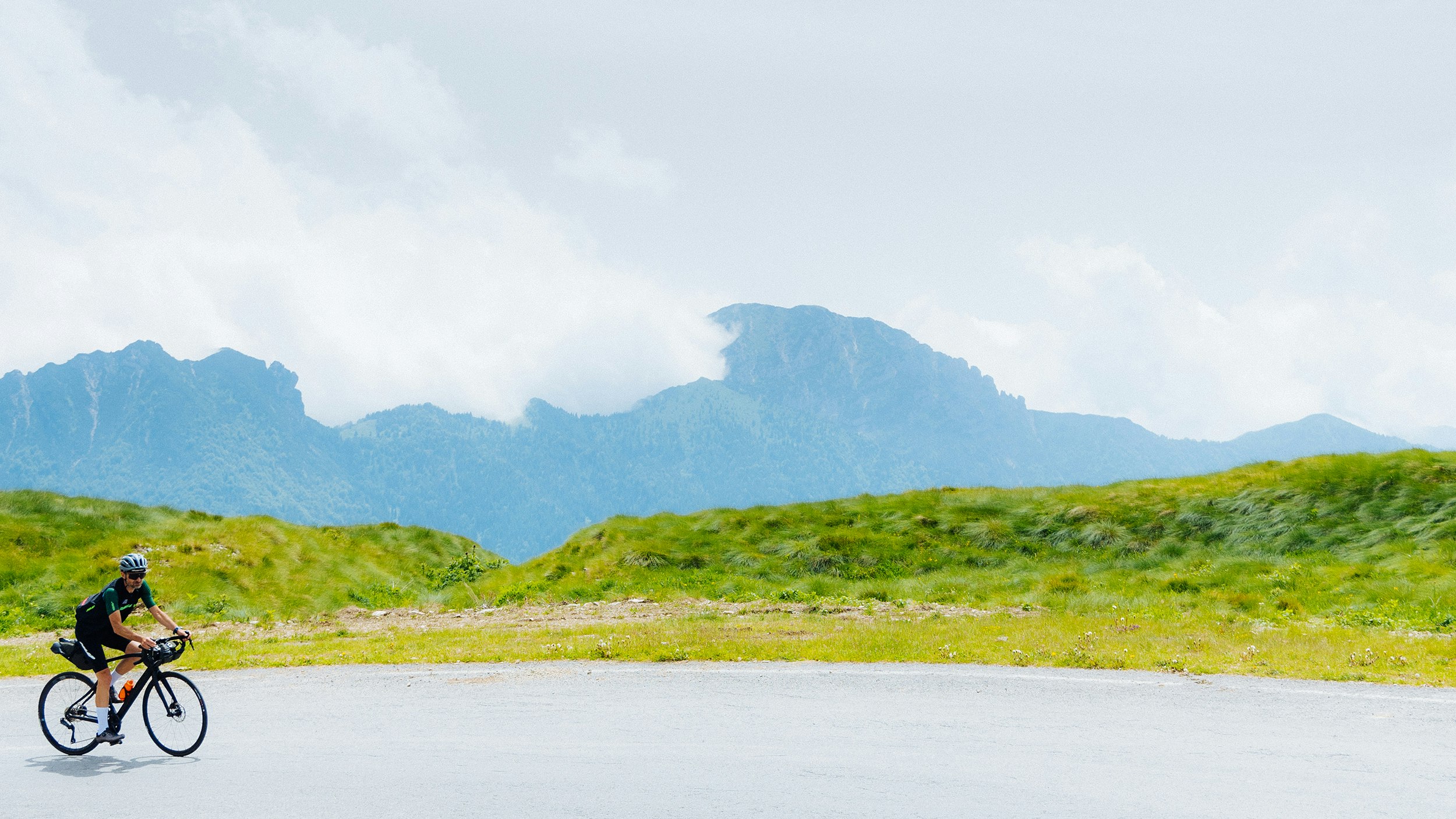
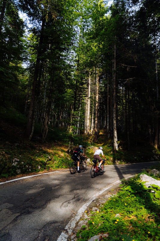
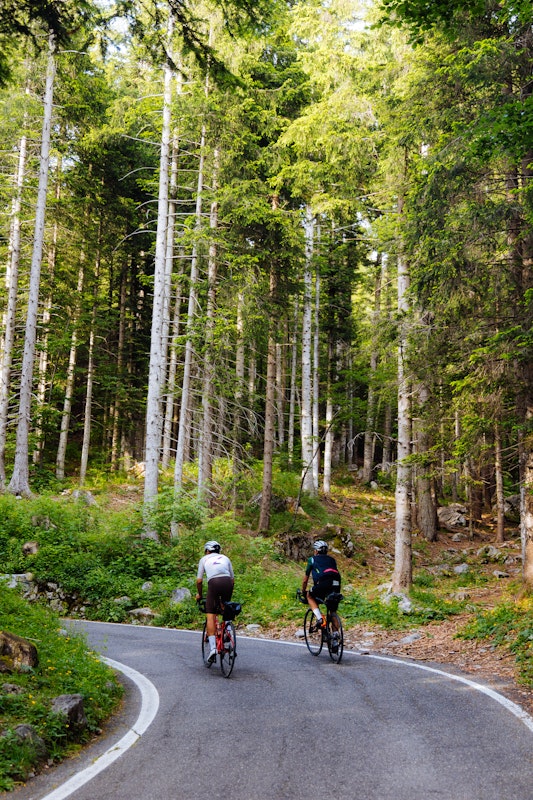
It’s beautiful day: cooler than yesterday, but with a clear, sapphire blue sky, the kind you see in renaissance paintings. A plentiful breakfast: eggs and cheese from Valcamonica, water bottles generously topped up, one with minerals and the other with plain water. We make sure that our bikepacking is securely hooked under the saddle and on the handlebars and we set off. The Croce di Salven is a somewhat ordinary climb: long but easy to ride. It connects the middle Valcamonica with Val di Scalve, the latter already in the province of Bergamo. You climb from Malegno and, after almost 15 kilometres, past the village of Borno, you descend. The descent towards Val di Scalve is pleasant: we draw sinuous curves on the hairpin corners that take us towards Schilpario, a town famous for its mines. Already known in Roman times, they remained active until the 1960s, when mining activity ceased due to lack of funds. Today, guided tours, allow visitors to rediscover the hard life of the Scalvini miners, retracing the underground railway on board small wagons. From Schilpario, on our right, begins the second – and much tougher – ascent. This one will take us to Passo del Vivione (1828 m). The first 17 kilometres are up and down and then, once we enter the pine forest and its silence, they become winding and almost mystical: a sort of Into the wild cycling experience. We ride through the forests with a thin blade of sunlight barely filtering through the trees and foliage, adding to the enchanting element.
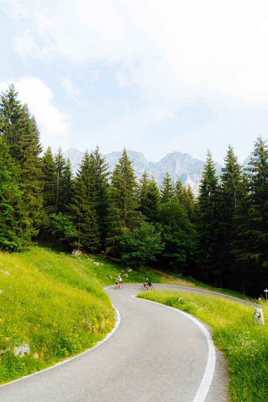
The feeling of not of actually cycling, but literally being bound by a magic spell is very strong. The gradients increase as we climb. Then one hairpin corner to the left, one to the right and there they are: the Dolomiti di Sclave opening up in all their splendour, and at the foot of the mountains a small lake in which the blue sky is reflected.
The rifugio Passo del Vivione seems to be expecting us for a well-deserved break. We dismount and treat ourselves to a soft drink and a speck and cheese sandwich.
The steep and technical descent towards Malonno takes us back to Valcamonica. First though, we are met with an unusual visitor: a nosey raccoon pops out of nowhere and chases us for a few hundred metres, before disappearing into the bush. Gabri avoids him by a whisker. I’m behind them, enjoying the comedy of it all.
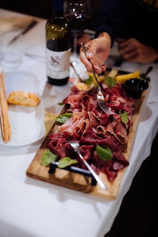
In the evening, in Ponte di Legno, we stop at a trattoria: it seems like they’ve been expecting us too. What with home-made pizzoccheri, buckwheat tagliatelle with vegetables and cheese, mushrooms and game with polenta as well as some excellent Rosso camuno, we make up for all the calories burnt and perhaps a few more.
Even warriors are allowed to rest on the third day. Gabri and I have breakfast in the hotel with rather sore legs and cheeks flushed with happiness, like those of children after a football game in the park. It’s a good thing we’re unloading today: the golden rule of the cycle-traveller is to treat yourself to an active recovery-day every now and then. That is to say that you can cycle, perhaps even for many kilometres, but never pushing too much and above all steering clear of even the slightest altitude gain, more or less. An agile and possibly flat route, allowing for many stops, wandering around in search of Instagram friendly hot-spots or other scenes to be viewed with the naked-eyed, forgetting about our phones. The alta Valcamonica seems an ideal playground for doing all of this in peace and quiet. Practically all of today’s route will be downhill, following the meandering course of the Oglio river along the beautiful cycle path that goes by its name.
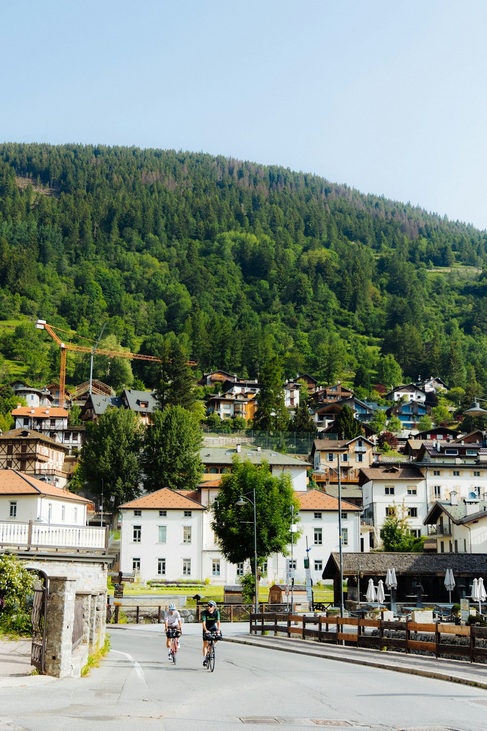
The longest stage, but also the easiest. However, if you feel tired, we recommend you divide the ride in two stages, perhaps staying overnight in Franciacorta.
After a few kilometres, at Temù, to our left, we see the Adamello glacier. A natural wonder that is getting smaller by the year, as if on the white snow an unwelcome curtain is being drawn. So much for those who say that global warming is a fake. But the beauty of this valley is so powerful that it withstands even climate change: it’s no coincidence that the cycle path we are riding on was awarded in 2019 the Italian Green Road Award as the most beautiful cycle path in Italy.
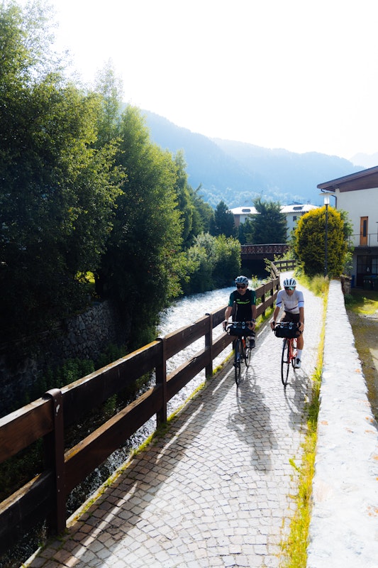
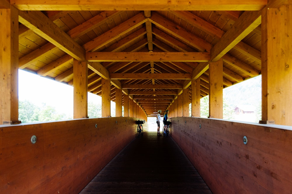
We line up in single file along a covered bridge, made entirely of wood: its scent is strong and the roar of the Oglio below us is a sweet and pleasant soundtrack.
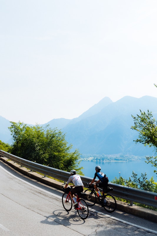
We grind kilometre after kilometre along gentle slopes and real descents, until we reach the eastern shore of lake Iseo.
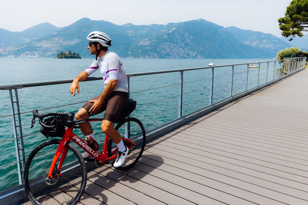
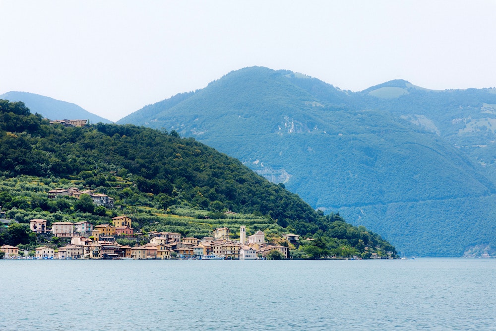
The presence of all this water in the last these three days has been powerful, regenerating, a sort of parallel energy capable of repaying us of every effort. From Idro to the Oglio, to Sebino, to the small bodies of water at higher altitude. While munching on an energy bar during a short stop, we look around us: Lake Iseo already bears Mediterranean features, like the neighbouring lake Garda. Here is Monte Isola: the largest inhabited lake island in Italy, and one among the largest in Europe (the whole perimeter can be cycled and the island is closed to private motor traffic). Elected in 2019 among the Most Beautiful Hamlets of Italy, Monte Isola is famous for its ancient tradition of net makers. In the past they used to make fishing nets, now they are also renowned for their football goal nets, from the Premier to the Champions League! The highest peak on the island – where the panoramic Santuario dell Madonna della Ceriola is located– is at 600 metres and is densely wooded, while the slopes are covered with olive trees.
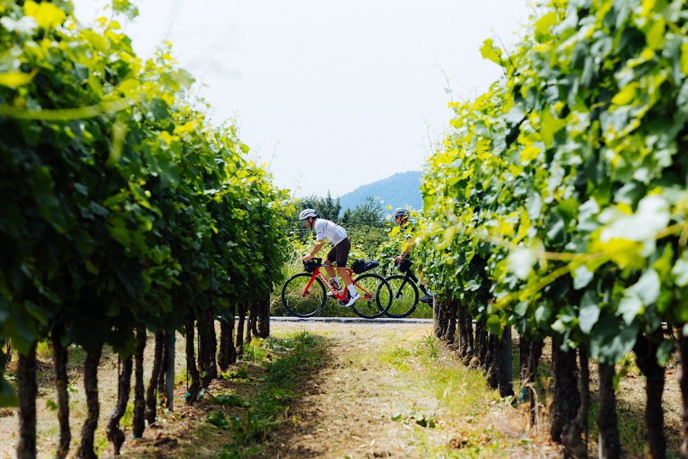
Vineyards as far as the eye can see intersect at our sides, so much so that here the hills almost seem to have been combed by a giant brush.
The enchanted mountains of the upper Valcamonica, the threatening but fascinating profiles of the Dolomiti di Scalve, the Adamello massif are now all behind us. From the vineyards of Franciacorta, we cut towards the Bassa Cremonese and find, in Pontevico, the Oglio’s waterway, our travelling companion, but now less thunderous than when we rode along it in the mountains, becoming placid and sinuous, with the softening of the slope. We cross it at Seniga and then follow it at a distance from its right bank, immersing ourselves in the agricultural landscape of the great plain: Pescarolo, Torre de’ Picenardi, Piadena, Calvatone; then beyond Bozzolo and Gazzuolo we go alongside with it, now in Mantuan territory, to its confluence with the Po. We bid our travelling companion farewell and start the return journey, travelling up the plain towards Brescia: Marcaria, Acquanegra – where we find again the river Chiese, which we had met at the beginning of our journey – and Remedello. At Ghedi, home to a well-known Air Force flock, we are now in sight of the final finish line and, with our legs up to speed after three days of cycling, it feels like we too might take off. In Brescia we stop our respective cycle computers: 3 days, 500 kilometres and over 5000 metres of altitude difference, pure wonders for the eyes and soul. This place is a must.
Bike type
Road
* informazione Publiredazionale
Texts
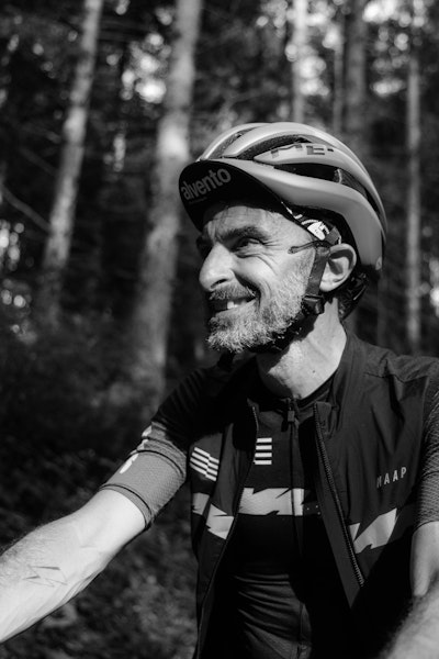
Giacomo Pellizzari
Photos
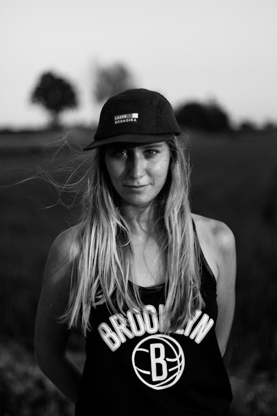
Chiara Redaschi
Cycled with us
Giacomo Pellizzari, Gabriele Pezzaglia
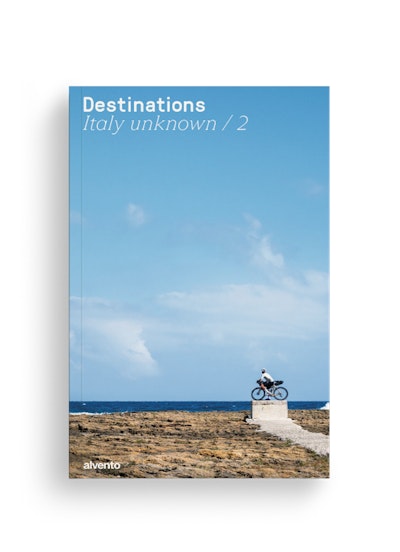
This tour can be found in the super-magazine Destinations - Italy unknown / 2, the special issue of alvento dedicated to bikepacking. 12 little-trodden destinations or reinterpretations of famous cycling destinations.
